Figure 2
Back Home Up Next


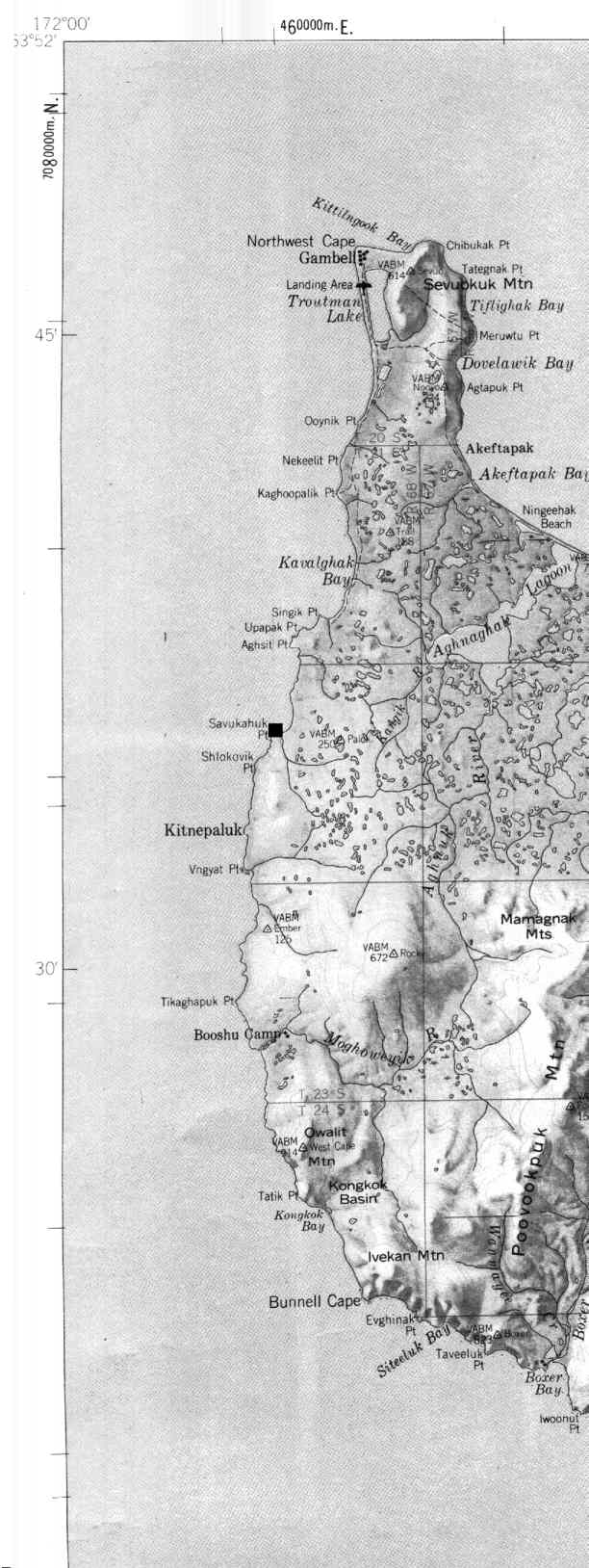
Fig. 2 - Carte de la côte occidentale de l'île St. Laurent avec la localisation du site de Kitngipalak (carré noir) (Geological Survey 1971).

Back to text


Back Home Up Next    or    Back to Top
Copyright 2000 by Blumer Reto.
Copyright 1997 by University of Geneva, Faculty of Sciences, Department for Anthropology and Ecology, Geneva, Switzerland.
For problems or questions regarding this web contact rblumer@vtx.ch
Last updated: 13-04-2001